
Two Moors Way
April 2005
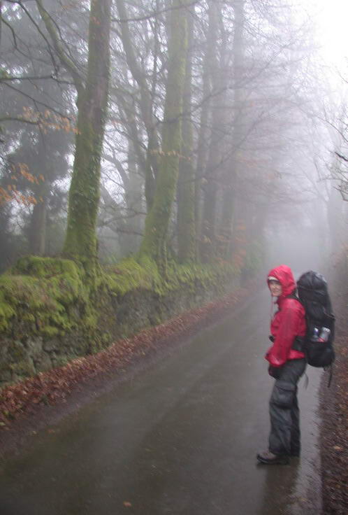
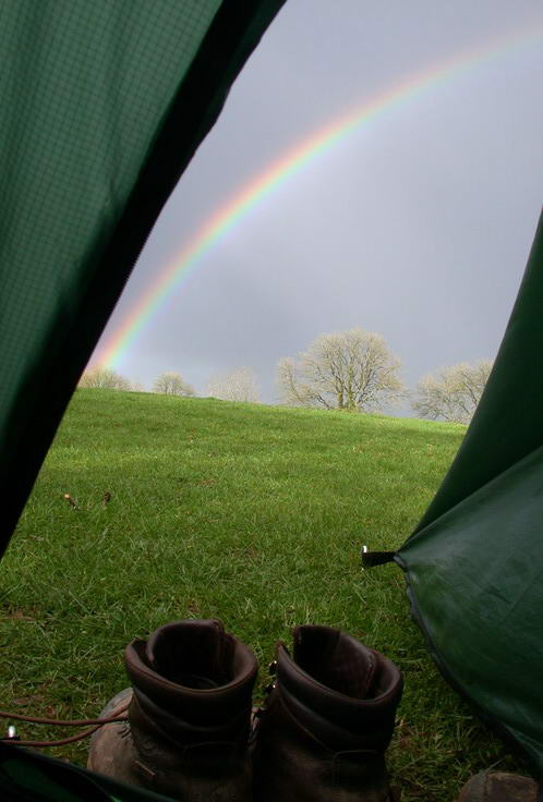
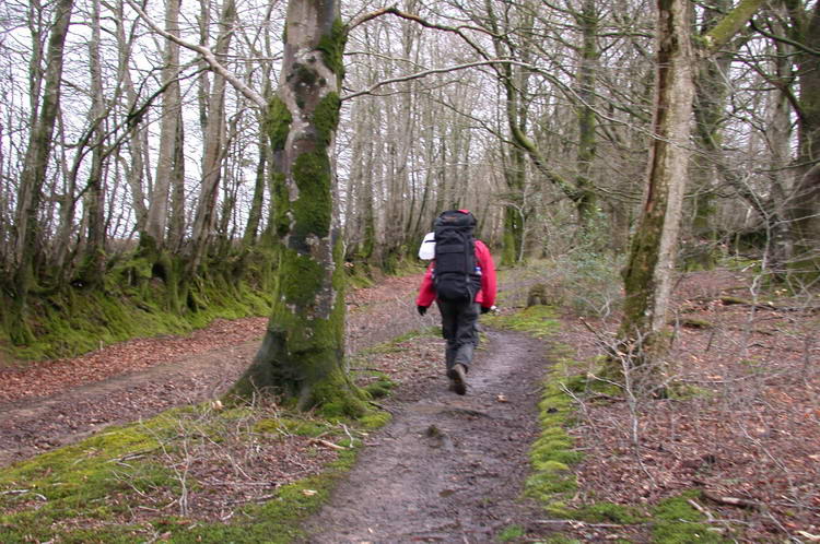
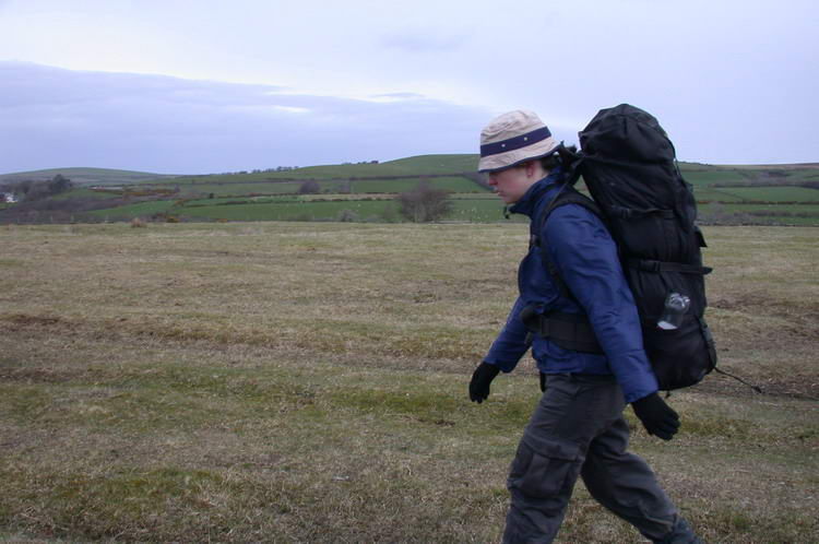
The Two Moors Way is a long distance walking trip in the south west of England. It crosses the Dartmoor and Exmoor National Park. It took us 8 days to walk the 166 km from Ivybridge to Lynmouth. The weather showed all its extremes during our trip: from blue skys with bright sun to dark ones from which fell snow and rain. We camped every night in our tent.
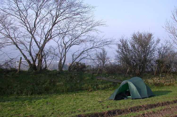
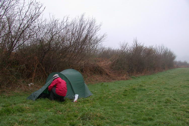
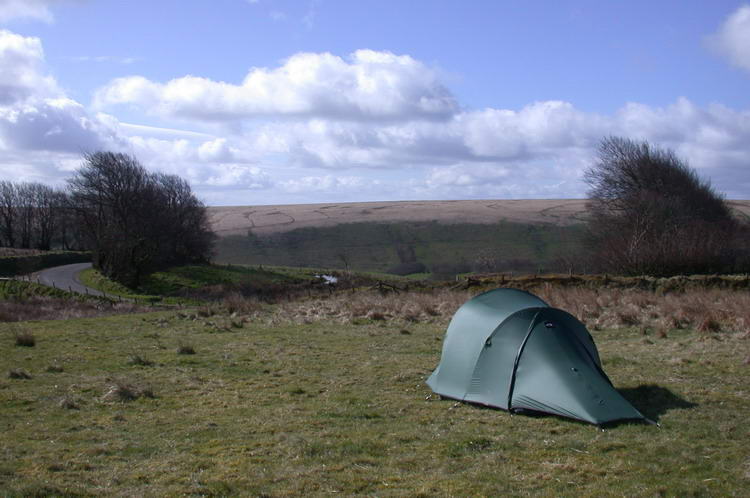
After a day of hitchhiking we arrived in Ivybridge in the evening. It was already dark when we found this camping spot at a few kilometers out of the town.
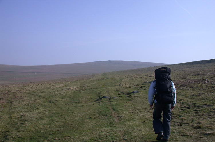
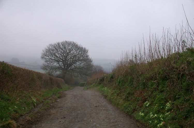
Here we just entered the Dartmoor National Park.
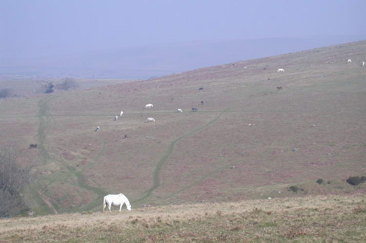
Horses and sheep walk around freely.
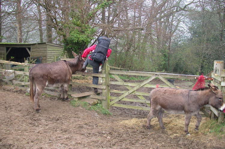
If you aren't scared for donkeys blocking the gate, they can give some extra support :-)
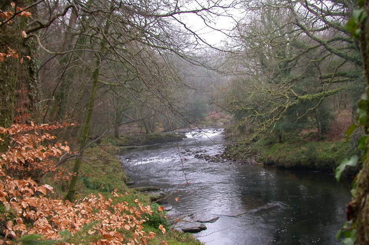
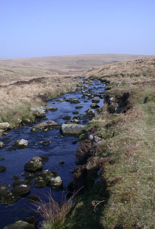
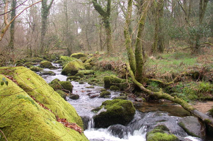
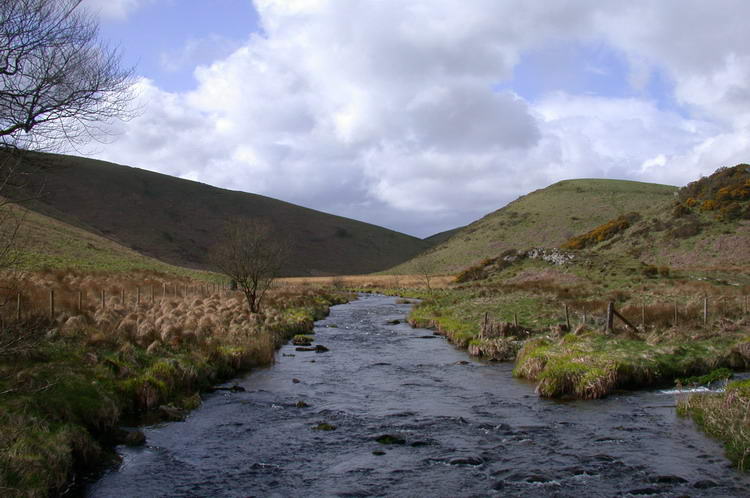
River Dart, just south of New Bridge.
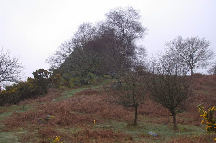
A steep ascend from the River Dart took us to the rocks of Leigh Tor.

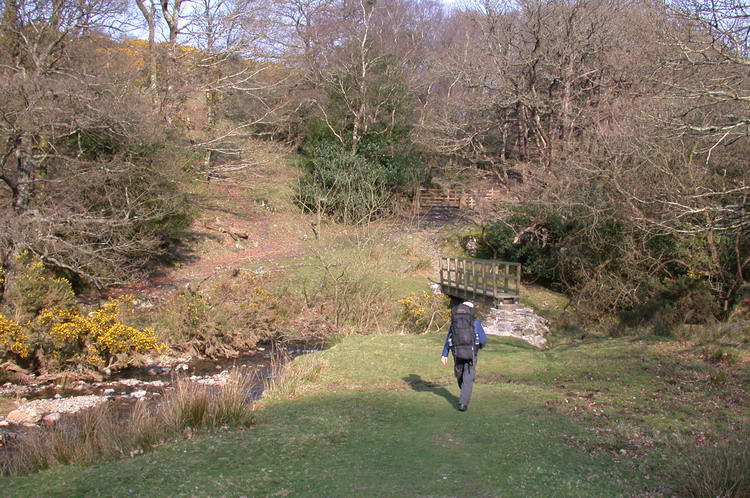
Foot bridge between Ponsworthy and Jordan.
West Webburn River between Ponsworthy and Jordan.
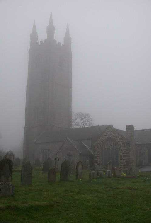
A foggy day in the village of 'Widecombe in the Moor'.
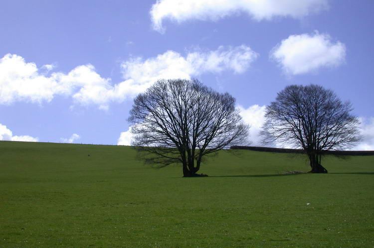
Trees growing on top of walls?
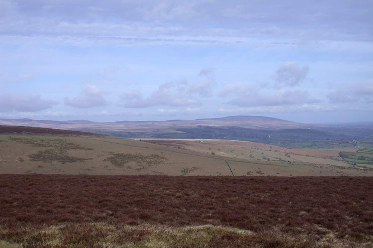
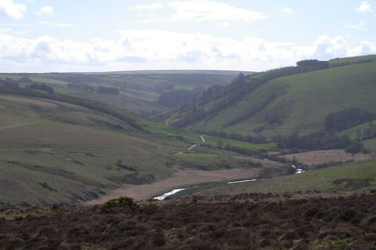
View from King's Barrow at King Tor hill.

Another view from King's Barrow at King Tor hill.
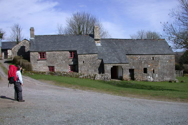
A historic
Devon longhouse in Lettaford.

We left the Two Moors Way to get faster to Chagford. From Yellands Farm we looked south towards the hills from which we came.
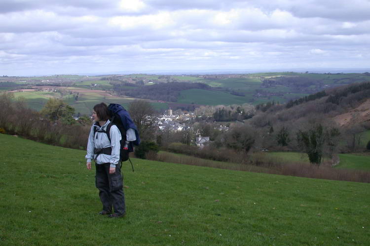
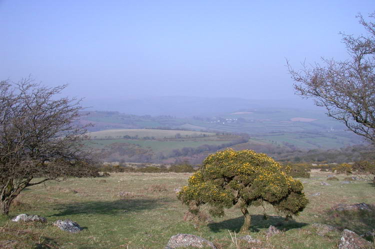
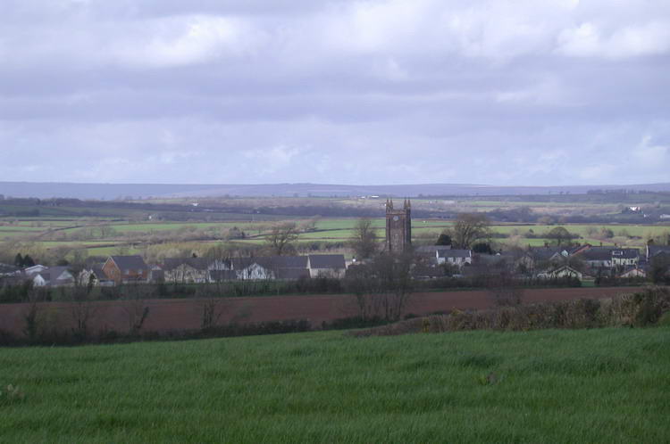
View towards the small town of Chagford.
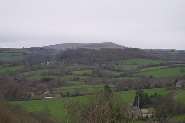
Looking south towards Easdon Hill.
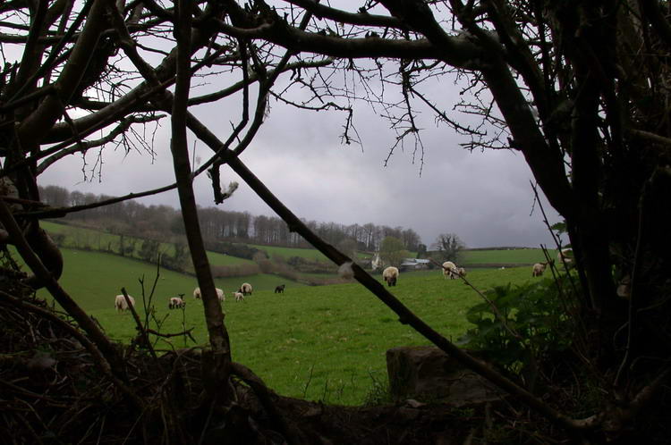
The hedges around this meadow, just south of Drewsteignton, had a few holes through which lambs escaped.
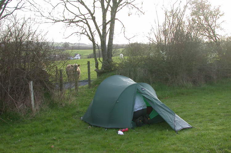
Camping in a meadow just north of the road A30.
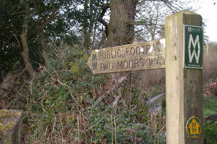
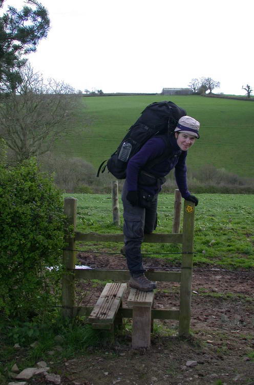
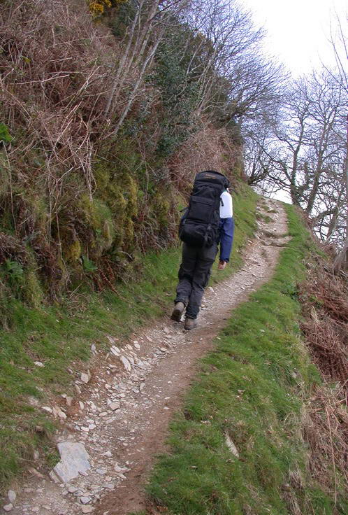
A lot of signs for the Two Moors Way at one place. Roughly between Ivybridge and the road A30 the route is poorly marked. Also when crossing the Exmoor National Park a map or guidebook is necessary to follow the route.


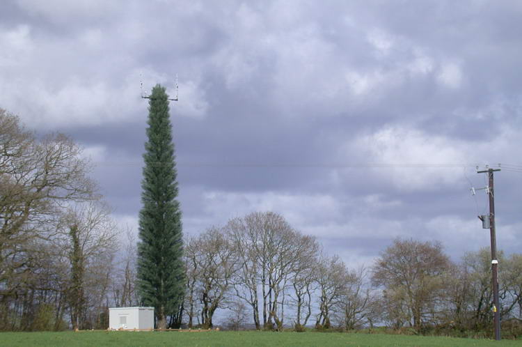
'Antenna' tree.


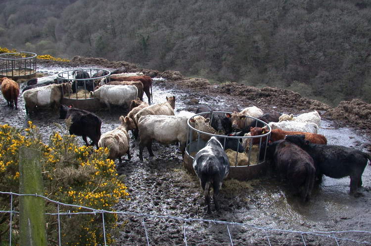
Those cows were eating hay while standing till over their knees in their own shit.
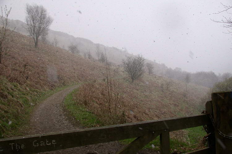
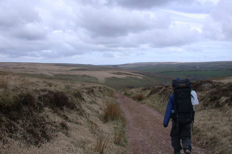
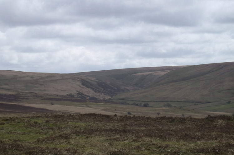
Some steep ascends and descends had to be taken before we got to Lynmouth.
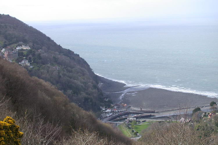
We're approaching our final destination: Lynmouth. The town on the hill on the left is Lynton.
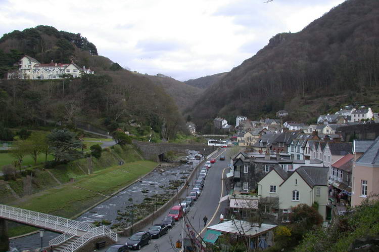
Lynmouth

Lynmouth